Line Measurement
|
The Web Map allows you to use a measure tool to annotate your current view of the map. By using points, lines and shapes you can measure distances and areas right of the Web Map. Why would I use this? If you find yourself asking how big is that parcel or building?, how far is my commute to work?, can I put notes or labels on the map?, then the redlining and measuring tool is for you! |
|
 Measurement Tool
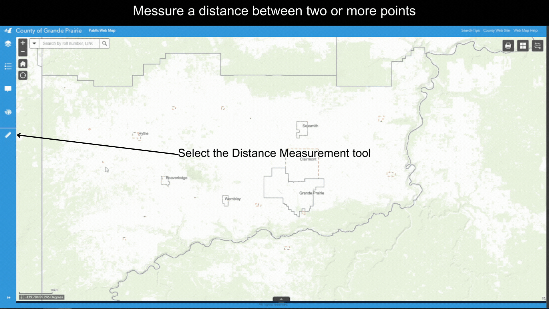
Open the Measurement Tool – click on the ![]() icon on the Tool Bar. Three icons corresponding to three different types of tools will appear.
icon on the Tool Bar. Three icons corresponding to three different types of tools will appear.
Measure Distance
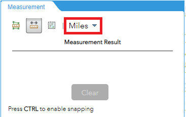
- Click on the
 icon to open the Line Measurement Tool.
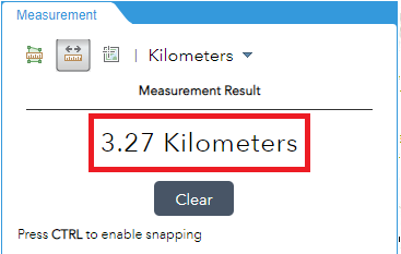
 - By default, the unit for measurement is Miles. You can select a different unit from the dropdown list.
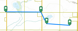
- Single click on the map to start drawing. Single click on the map to draw the vertices, Double click on the last point to finish drawing.
- Length of lines will show up under Measurement Result.
Created with the Personal Edition of HelpNDoc: Leave the tedious WinHelp HLP to CHM conversion process behind with HelpNDoc