Measurement Tool
|
The Web Map allows you to use a measure tool to annotate your current view of the map. By using points, lines and shapes you can measure distances and areas right of the Web Map. Why would I use this? If you find yourself asking how big is that parcel or building?, how far is my commute to work?, can I put notes or labels on the map?, then the redlining and measuring tool is for you! |
|
 Measurement Tool
![]()
The Measurement tool is accessed by clicking on the ruler icon on the vertical panel to the left of the Public Web Map display window. (Figure.1)
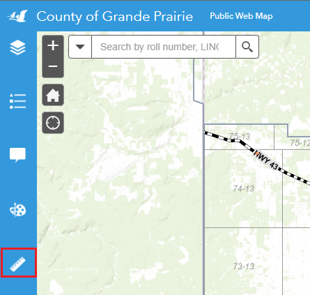
Figure. 1
Created with the Personal Edition of HelpNDoc: Free PDF documentation generator