How do I get an Area or Distance Measurement?
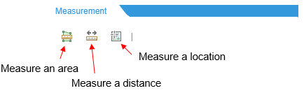
Click on the ![]() icon on the horizontal tool bar. This is the Measurement tool. Choose to measure a distance, area, or location, as shown in the figure below:
icon on the horizontal tool bar. This is the Measurement tool. Choose to measure a distance, area, or location, as shown in the figure below:
Measure Area
![]()
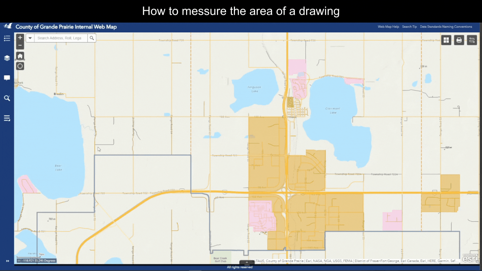
The Web Map allows you to use a measure tool to annotate your current view of the map. By using points, lines and shapes you can measure distances and areas right of the Web Map. Why would I use this? If you find yourself asking how big is that parcel or building?, how far is my commute to work?, can I put notes or labels on the map?, then the redlining and measuring tool is for you!
Measure Distance
![]()

Figure.6
Measure Location
![]()
- Click on the
 icon to open the Line Measurement Tool.
 - By default, the unit for measurement is Degrees. (Figure.7) You can select a different unit from the dropdown list.
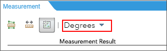
Figure.7
- Single click on the map to place a marker. The coordinates will show up under Measurement Result, to the right of the
 symbol. (Figure.8)
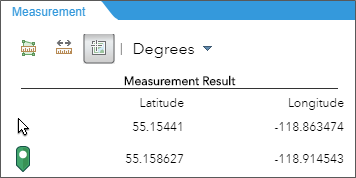
Figure.8
Created with the Personal Edition of HelpNDoc: Free help authoring environment