Layer List Tool
|
The Public Web Map uses map layers to control what details you can see or cannot see on the map. By using the Layer List Tool you can customize what details to make visible on the map. For example, if you do not need Provincial Roads or Address Labels on your map, you can use this tool to turn the Provincial Roads and Address Labels off. For example you can turn provincial roads on or off, or lakes and streams depending on what you wish the map to convey. For more information on the Layer List Tool, click here. |
|
 Layer List Tool
![]()
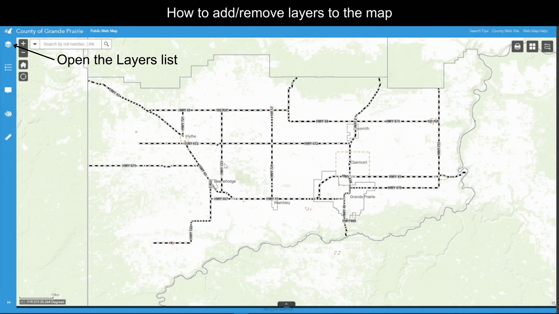
The Layer List tool is accessed by clicking on the Layers icon on the vertical panel to the left of the Public Web Map display window. (Figure.1)
Figure. 1
Created with the Personal Edition of HelpNDoc: Easily create EBooks