Welcome to the County of Grande Prairie's Internal Web Map! |
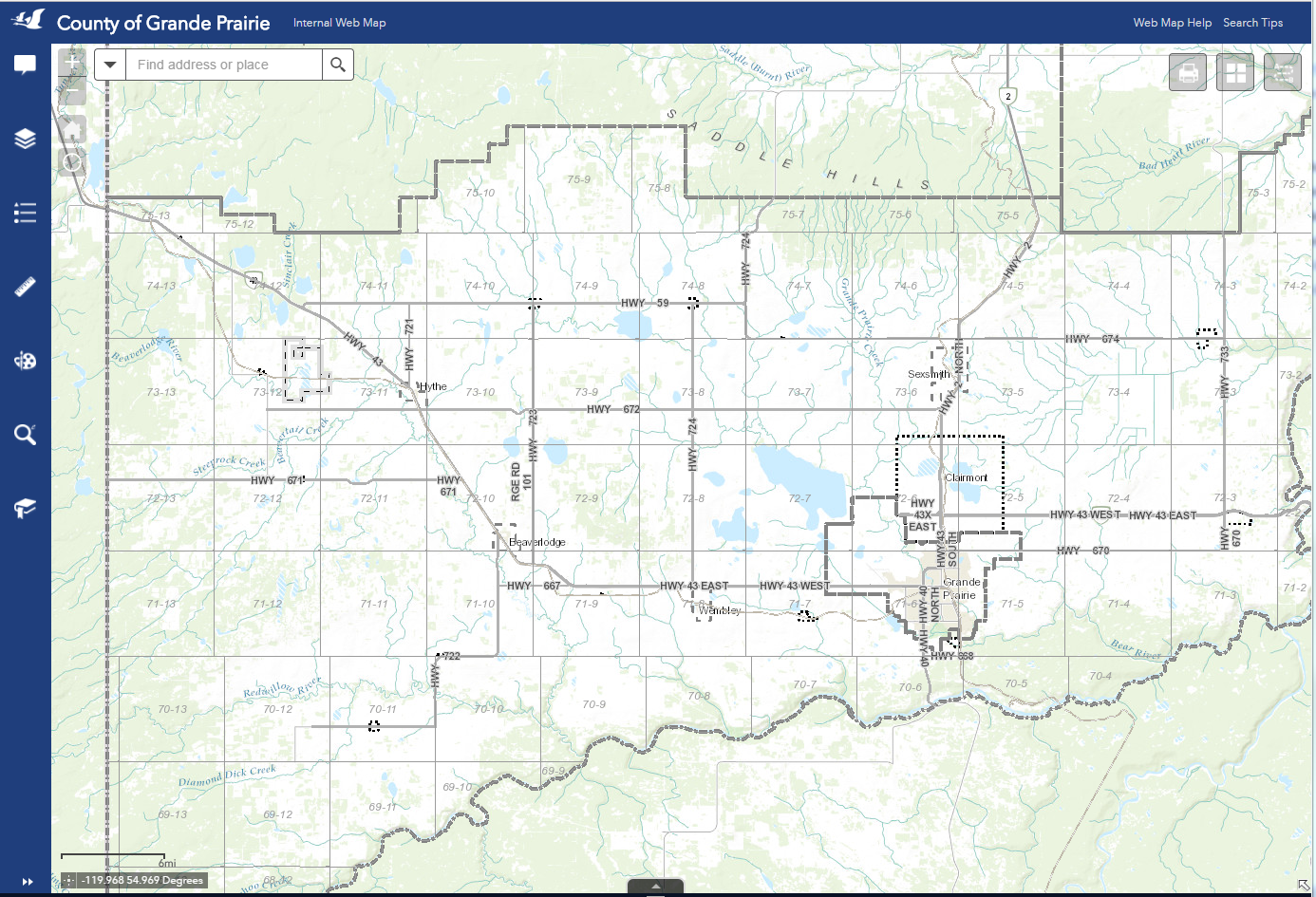
Figure.1
What is the Internal Web Map?
![]()
The Internal Web Map is an interactive, easy-to-use web map of the County of Grande Prairie accessible to residents, businesses and organizations. The Internal Web Map provides Geographic Information System (GIS) information about the County and its partner towns.
What can I do on the Web Map?
![]()
The Internal Web Map has an assortment of tools that allows users to access:
- Residential Information
- Property Search and Reports
- Rural Addresses
- LSD/ATS Grid
- Contact Information
- Lot, Block and Plan Labels
- Zoning
- Fire Permits, Guardians, and Restricted Areas
- Municipality Information
- Aerial Photos
- Points of Interest
- Municipal Boundary
- Recycling and Waste Management Information
- Electoral Districts
- Permits, Leases, and Licenses
- Wapiti Corridor
- Transportation Information
- Road Placement
- Railroads
- Walking Trails
- Map Printing to PDF
Term of Use/Disclaimer
![]()
Data for the map may include inaccuracies or typographical errors. The information is provided without warranty or condition of any kind. This mapping data is for information purposes only and is not intended to act as a legal record. Any use of this data beyond that of general information should be verified by the County’s GIS Services before use. If you have any questions or concerns, feel free to contact the GIS Services at GIS@countygp.ab.ca.
Continue On
![]()
Continue on to the Getting Started document to begin your Public Web Map learning experience or click on the following link to start using Public Web Map.
Created with the Personal Edition of HelpNDoc: Easy to use tool to create HTML Help files and Help web sites