Attribute Table
An Attribute table is a table containing information about a set of geographic features, usually arranged so that each row represents a feature and each column represents one feature attribute. In raster datasets, each row of an attribute table corresponds to a certain zone of cells having the same value. In a GIS, attribute tables are often joined or related to spatial data layers, and the attribute values they contain can be used to find, query, and symbolize features or raster cells.
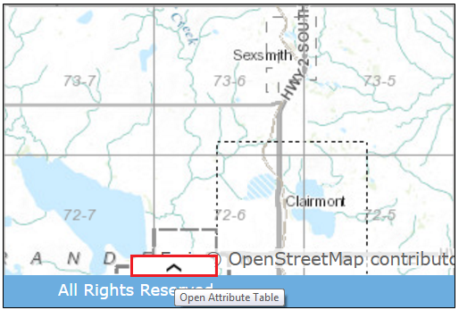
The attribute table can be viewed by clicking on the icon highlighted in red below at the bottom of web map.
The topics in this section go into detail on how to work with the attribute tables within this web map.
Created with the Personal Edition of HelpNDoc: Streamline your documentation process with HelpNDoc's HTML5 template